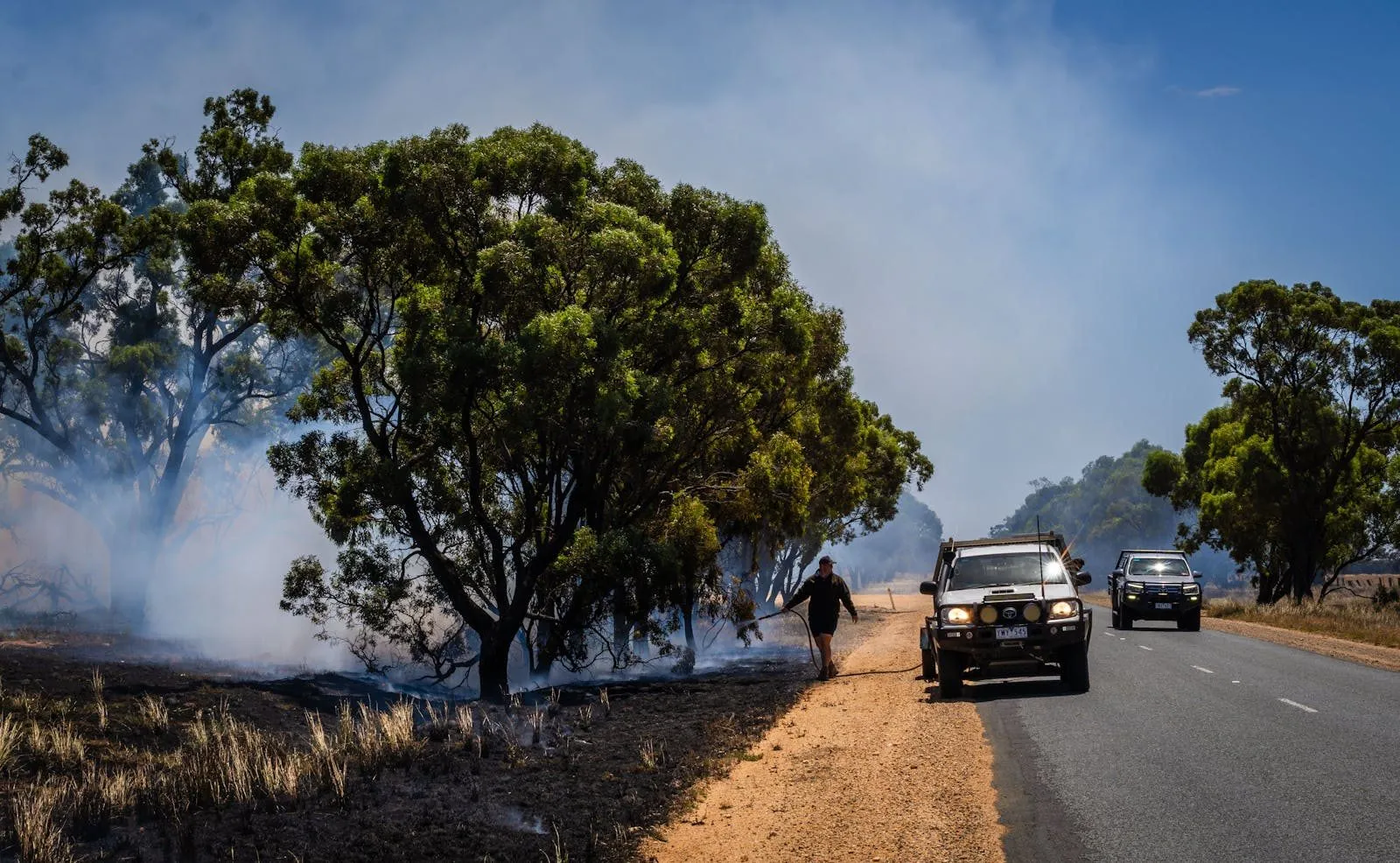
A simulated low-earth-orbit satellite constellation running orbital edge computing detected a Californian wildfire ignition in 68 seconds in a recent published evaluation. The local agency that would respond to the ignition receives the alert through a workflow built for hourly satellite passes, sees it about 45 minutes later, and dispatches the first crew on roughly the same timeline as the original 911 call. The detection time and the response time live in different worlds. That gap means the wildfire technology stack has crossed an operational inflection point. The institutional plumbing connecting that stack to the field has not crossed it.
The technology side of the picture is, by 2026 standards, genuinely impressive. A Geospatial Awareness Layer (GAL) framework, published in early May, grounds large language model agents in structured earth observation data covering infrastructure and demographics together with terrain and weather information, and produces evidence-based resource-allocation recommendations for wildfire response (Geospatial Awareness Layer, 2026). The GAL paper is one of the first credible architectures for LLM-driven operational support that goes beyond fire detection into actual recommendations for where to send crews and assets, and it was developed in the context of the 2025 Los Angeles fires. Alongside that work, a LEO satellite constellation simulation showed wildfire detection latency below 70 seconds on average when orbital edge computing and deep learning are configured well (LEO satellite wildfire detection, 2026). Drone-mounted thermal infrared sensors paired with random forest machine learning models predicted wildland fire rate of spread with high accuracy in prescribed grassland fire tests (UAS thermal infrared, 2026). The technology to do real-time AI-driven decision-grade wildfire intelligence exists.
Hidden inside the LEO constellation result, however, is a finding that should reach procurement officers before it reaches researchers. The 70-second detection latency only holds when the constellation is configured well. Poorly configured networks deliver the same information more than 90 times slower. That difference is not a technical detail. It is a procurement specification. An agency that tenders for wildfire detection services without specifying constellation architecture is buying a black box. The black box may not deliver useful operational latency. The offering will not be benchmarkable against rivals on a like-for-like basis. The procurement question is now upstream of the operational question.
The other piece of the picture is the institutional glue that the technology stack requires to be useful at all. A stakeholder-assisted Concept of Operations (ConOps) for integrated wildfire management platforms was published in early May, addressing the coordination failures that occur when multiple agencies use incompatible systems during active fire events (Integrated Wildfire Management ConOps, 2026). The ConOps work matters because the technology dividend from sub-minute detection only materialises if the alert flows from the satellite or drone into a system that the agency can act on, and from there to the crew that has to make the dispatch decision. None of that is technically novel. All of it is institutionally hard.
Operational deployments overseas have already crossed that institutional gap. Pano AI’s combined camera and satellite system, with its AI processing layer running on top, operates in 17 US states and notifies agencies approximately 45 minutes faster than the first 911 call about a new fire (Washington Times, 2026). Google’s FireSat constellation launched its first prototype in March 2025 and is detecting fires that other satellite systems miss (Google, 2025). These deployments are not pilot programs. They are state-level operational services with established benchmarks, and they are setting the standard against which Australian agencies will increasingly be measured by their own emergency management ministers and by the public.
Two findings from earlier in the year reinforce why the operational integration question matters more than the detection question. The Los Angeles County fuel paper found that pre-fire fuel conditions outranked fire weather and topography as the dominant driver of burn severity in the 2025 LA fires, with the relationship explaining around 60 per cent of the variance in burn severity outcomes (LA County fuel paper, 2026). The fuel finding strengthens the case for proactive fuel monitoring using satellite spectroscopic data as a primary hazard identification method, because the lever it points to is something agencies can act on before a fire starts. At the other end of the fire-behaviour spectrum, an OpenAlex paper quantified fire-generated tornadic vortices reaching wind speeds of 350 km/h during the 2019 to 2020 Australian Black Summer bushfires, linked to rapid pyroconvective development (Black Summer pyroconvective paper, 2026). The extreme end of fire behaviour continues to surprise, and emergency management planning has to account for tail risks that sit outside historical experience.
Set those two findings either side of the technology stack, and the implication for Australian agencies is clear. The hazard identification side requires monitoring of fuel conditions before fires begin, ideally using the kind of satellite spectroscopic data that the LA fuel paper relies on. The active fire side requires sub-minute detection and AI-driven resource allocation, integrated with the institutional decision-making chain that has to act on the information. Both technical capabilities exist. The procurement specifications and the operational doctrine to use either capability at scale are what Australian agencies do not yet uniformly have.
The same shape shows up in the visibility-efficiency paradox I have written about separately, where social media attention distorts the resource-allocation decisions agencies make under pressure. The decision-support procurement gap and the visibility-efficiency paradox are connected. Both describe situations where the inputs to operational decision-making run ahead of the institutional capacity to use those inputs well. I have also written separately about the practitioner last mile in wildfire decision support, where the binding constraint sits in literacy and culture rather than in procurement. All three pieces are looking at siblings in the same family of integration failure.
For Australian agencies, the practical step is to treat the procurement specification as an operational document. Constellation architecture, sensor latency, integration points with computer-aided dispatch, and the decision-making authority that holds the resource-allocation call are all things that need to be written into procurement before the technology arrives, not adapted after the fact. The US deployments, particularly Pano AI’s multi-state footprint, give Australian agencies a usable benchmark. The LEO constellation simulation gives them an analytic frame for evaluating tenders. The ConOps work gives them a starting point for the inter-agency coordination problem.
For consultants and policy professionals working at the wildfire-policy boundary, the opportunity is in helping agencies write procurement specifications that capture the operational reality. The technical maturity of the satellite and drone AI work has run ahead of the procurement maturity, and the gap is now the binding constraint on how much operational benefit Australia can extract from the technology. Closing that gap is harder and more institutionally specific than the technical work itself, and it is the work that determines whether sub-minute detection is ever matched by something faster than a 45-minute response.
The bottleneck moved. The procurement playbook has not yet caught up with where the bottleneck moved to, and the longer that takes, the larger the operational gap between Australian agencies and the US deployments now setting the contemporary benchmark.
References
- Black Summer pyroconvective paper. (2026). Quantification of fire-generated wind speeds during 2019-20 Australian bushfires. OpenAlex.
- Geospatial Awareness Layer. (2026). LLM agents grounded in structured earth observation data for wildfire response. arXiv preprint.
- Google. (2025). FireSat constellation prototype launch.
- Integrated Wildfire Management ConOps. (2026). Stakeholder-assisted Concept of Operations for cross-agency wildfire coordination platforms. Semantic Scholar.
- LA County fuel paper. (2026). Pre-fire fuel conditions as the dominant driver of burn severity in the 2025 Los Angeles fires. Semantic Scholar.
- LEO satellite wildfire detection. (2026). Sub-70-second wildfire detection latency with orbital edge computing and deep learning. arXiv.
- UAS thermal infrared. (2026). Drone thermal sensing and random forest ML for fire spread prediction. OpenAlex.
- Washington Times. (2026, May 4). States across the wildfire-prone Western US are using AI for early detection.