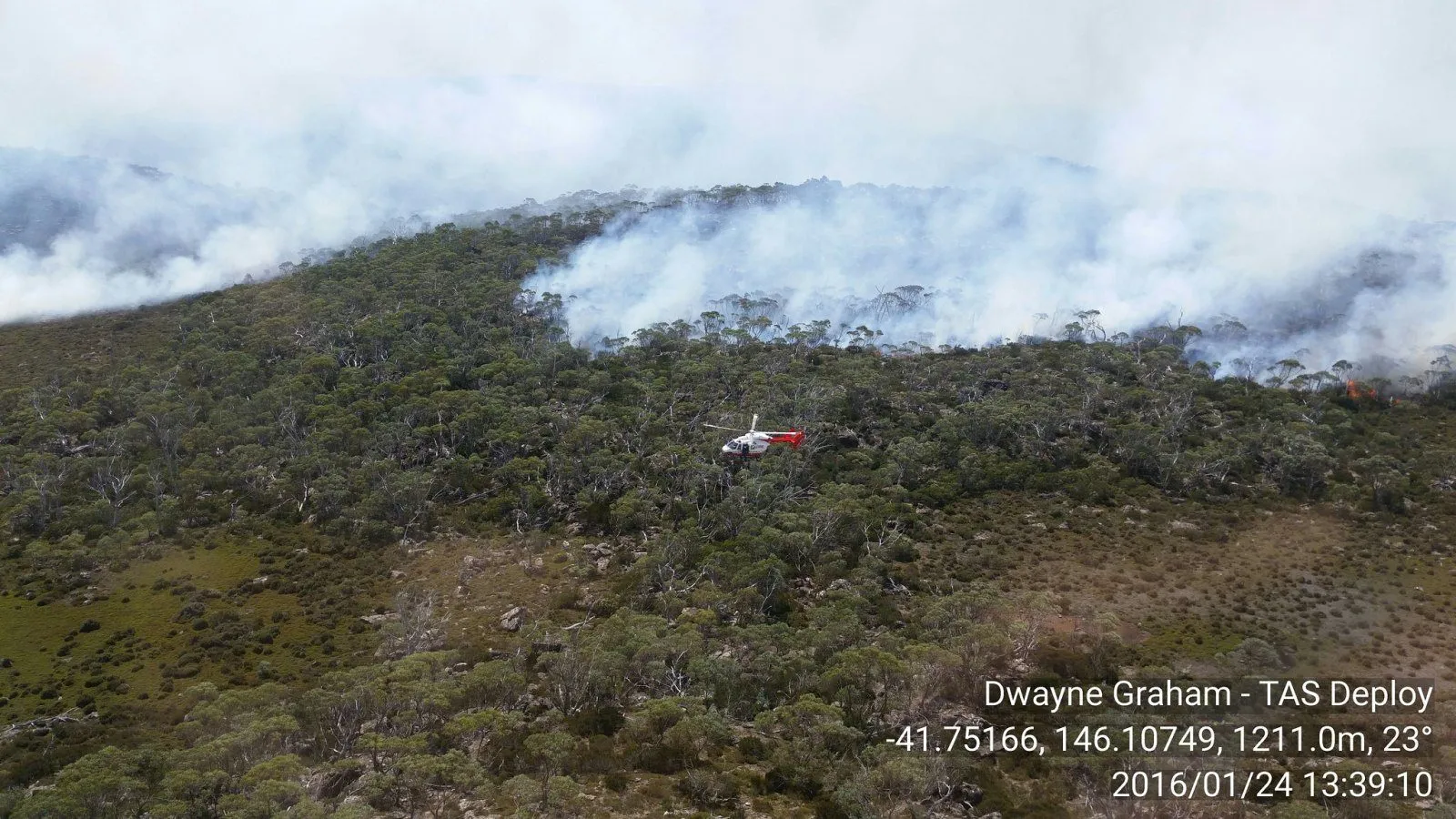
In late June more than four hundred fire practitioners and researchers gathered in Adelaide for the Natural Hazards Research Forum, alongside policymakers and First Nations representatives, and a good deal of what they saw was machine learning that works. There were operational systems for monitoring live fuel moisture, methods for quantifying the uncertainty in bushfire spread predictions, and multi-sensor satellite fusion that sharpens active fire detection (Natural Hazards Research Australia, 2026a). The models are getting good. The question the forum kept circling, and the one that matters for whether any of this reaches a fire truck, is why good models are not yet good decision support.
That gap is the subject of a recent review of machine learning approaches to wildfire prediction and management in Australia, published in the European Journal of Forest Engineering (2026). Its headline finding is encouraging on the technology and pointed on everything around it. Ensemble methods such as Random Forest and XGBoost reliably outperform individual models on predictive accuracy, so the modelling itself is in reasonable shape. What agencies lack, the review argues, is investment in two unglamorous capabilities: multi-source data integration, and explainable AI that can turn a prediction into something a human can interrogate. On the modelling, then, the field is in good order. The constraints that keep these systems off the fireground sit on either side of the model: the data going in, and the explanation coming out.
The Australian review is not an outlier. A global review published the same month, covering 143 studies of AI-based wildfire prediction, reached a similar verdict: tree-based methods still dominate while deep learning and ensemble approaches grow, and the field’s real weaknesses are inconsistent evaluation standards and a shortage of conceptual clarity rather than any lack of modelling horsepower (Global Review of Wildfire Prediction, 2026). The technology is maturing fast. The scaffolding around it is not keeping up, and that lag is where operational value leaks away.
Take interpretability first, because it is the constraint a practitioner feels most directly. A fire behaviour analyst will not act on a probability that arrives as a number with no account of itself, and they are right not to, because acting on a black box during a running fire is how careers and lives end. Explainable AI techniques such as SHAP, which the Australian review singles out, exist to make a model show its working, so the analyst can see which factors drove the prediction and decide whether to trust it. This is the same point I have made about the wildfire decision-support gap before. The bottleneck in getting research models onto the fireground is rarely a technical one. More often it is human, cultural and organisational, turning on whether the person holding the radio can understand and defend the tool’s output.
The data side of the constraint is where this year’s most useful progress has actually happened, and it has happened in infrastructure rather than models. Three projects illustrate the shift. CanadaFireSat builds high-resolution wildfire probability mapping at a 100-metre scale, addressing the coarse resolution that has limited operational forecasting (CanadaFireSat, 2026). VibrantForests integrates national forest inventory data, airborne lidar and satellite imagery into annually updated, wall-to-wall maps of forest structure at 10-metre resolution, replacing the fragmented legacy datasets that models have had to make do with (VibrantForests, 2026). WildfireCube assembles standardised spatiotemporal data tensors at a 30-metre, three-hour resolution across 13 wildfire events in three countries, which begins to solve the unglamorous but decisive problem of comparable, machine-ready training data (WildfireCube, 2026). What these projects share is their type. They are data foundations rather than models, and without them a model does not generalise beyond the place it was trained.
There is a sharper reason to be wary of accuracy as the headline metric, and it surfaced in the same set of digests. One machine-learning study of ignition causes carried a warning that ought to travel further than it will: its strong predictive performance may partly reflect post-ignition data rather than any genuine prospective signal. In plain terms, the model may be scoring well because it is being shown answers it would not have had in the field. That is a textbook case of why interpretability and rigorous evaluation standards are not optional niceties. A model can post excellent accuracy and still be operationally useless or even misleading. The only way to tell the difference is to see what it is actually keying on.
The reason this cannot wait is that demand for trustworthy prediction is climbing as fire seasons lengthen. A study of Turkiye’s Aegean and Mediterranean regions, presented at the 2026 European Meteorological Society meeting, projected that extreme wildfire-risk days could rise by up to 22 per cent under a high-emission scenario, with the fire season stretching to around 65 per cent of the year in some coastal hotspots (European Meteorological Society, 2026). Australia sits on the same trajectory, in a different hemisphere. The fire seasons that machine learning is being asked to predict are growing longer and more volatile at exactly the moment the tools to predict them are maturing, which is either good timing or a closing window, depending on whether the integration and interpretation work gets done.
What turns a maturing research field into an operational capability is a step Australian fire agencies have not consistently taken, and I have written about its two faces before. One is the procurement problem: detection and prediction tools now move faster than the multi-year cycles agencies use to buy and adopt them, so the bottleneck shifts from the technology to the specification. The other is the evaluation problem: an AI forecasting model is only as trustworthy as the operational test it has been put through, and a benchmark that looks impressive in a paper can mislead in the field. The review’s call for explainable AI and rigorous standards is the same argument from the research side. A prediction an incident controller can neither see inside nor independently trust is just a number, however high its accuracy score. Decision support is what it becomes only once it can be explained and evaluated.
For the people who fund this work, that points to an uncomfortable reallocation. The instinct is to fund the next model, because a new model is a visible deliverable with a performance number attached. The evidence from this year’s research says the higher return sits in the parts that do not demo as well: the standardised and machine-ready datasets, and the interpretability layers that let a practitioner trust and defend an output. Australia already has accurate wildfire models in abundance. What it lacks is the data foundations and the explanation tools that would let the accurate models it already has reach the people whose job is to act on them. The model was always going to be the easy part. The hard part is feeding it the right data and explaining what it says, and that is the work that turns an accurate system into one a fire crew can actually use.
References
- CanadaFireSat: Towards high-resolution wildfire forecasting with multiple modalities. (2026). ISPRS Journal of Photogrammetry and Remote Sensing. https://doi.org/10.1016/j.isprsjprs.2026.05.050
- European Meteorological Society. (2026). A Random Forest-based early warning system for wildfire risk in the Southern Aegean and Western Mediterranean regions of Turkiye. EMS Annual Meeting 2026. https://doi.org/10.5194/ems2026-399
- A Review of Machine Learning Approaches for Wildfire Prediction and Management in Australia: Challenges, Data Integration and Future Directions. (2026). European Journal of Forest Engineering. https://doi.org/10.33904/ejfe.1606577
- Global review of wildfire prediction using spatio artificial intelligence models. (2026). https://doi.org/10.1007/s44415-026-00083-y
- Integrating national forest inventory, airborne lidar, and satellite imagery for wall-to-wall mapping of forest structure with computer vision [VibrantForests]. (2026). arXiv:2606.20291.
- Natural Hazards Research Australia. (2026a, June). Leading to impact: NHRF26.
- WildfireCube: A dense spatiotemporal tensor to support multi-regime wildfire spread modeling at 30 m/3 h resolution.(2026). Semantic Scholar.