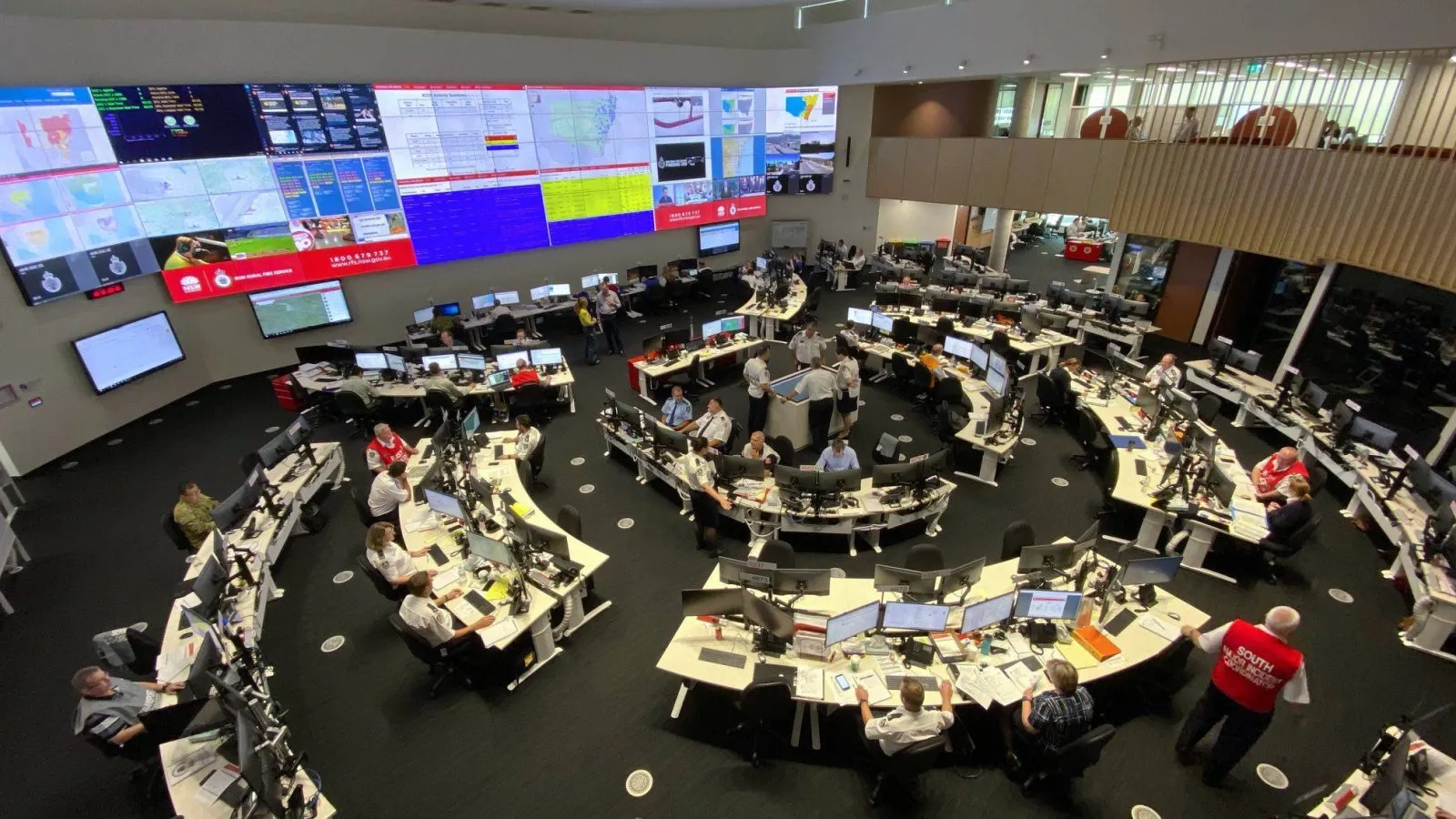
The product that shows, in close to real time and across every state border, where Australia is currently burning is funded only until 30 June. That is days from now. The National Near Real-Time Bushfire Boundaries dataset, produced through the National Bushfire Intelligence Capability and Geoscience Australia, gives the country a single national view of fire and prescribed-burn extents, and its current iteration reaches the end of its funding at the end of this month. A piece of national fire-intelligence infrastructure being funded to an expiry date, rather than maintained as a standing capability, is the small detail that opens onto a much larger problem.
The larger problem is that Australia has a great deal of bushfire data and very little ability to use it as a nation. Research presented at the Natural Hazards Research Forum in Adelaide this month found that the country holds substantial bushfire data but lacks the integration and governance needed to use it as a functional national database. This is not a new finding. The 2020 Royal Commission into National Natural Disaster Arrangements said much the same thing, as did the NSW Independent Bushfire Inquiry the same year, both concluding that Australia has no national centralised bushfire information database. Six years on, the scoping work to build one is still scoping work.
The consequence is concrete and slightly embarrassing for a country with Australia’s fire history. We cannot answer basic questions consistently across jurisdictions. Where has it burned, how severely, under what conditions, with what fuel loads beforehand: each of these has a different answer depending on which state you ask and which recording practice that state happens to use. The data sits in jurisdictional silos built to slightly different specifications, and integration tends to happen by hand during an emergency, when an exhausted analyst stitches incompatible feeds together under pressure, rather than being designed into a standing system that simply works when the season starts.
This matters more each year because the seasons are getting longer and more demanding. Victoria has already warned of an earlier than usual start this spring, barely months after a destructive 2025-26 season, and an earlier start compresses the window in which any of this data work can be done calmly. There is also a research cost that compounds the operational one. A three-decade review of geospatial AI in wildfire research found that the field is heavily concentrated on detection and mapping, the parts of the problem where data is relatively abundant, while fuel mapping and post-fire recovery remain comparatively under-researched. We study what we can measure, and a fragmented data landscape steers the science toward the questions the existing data can already answer.
The temptation is to treat this as a technology gap, and that reading is where most reform efforts go wrong, because the tools are not the bottleneck. A convolutional neural network demonstrated this month can forecast fire spread in fractions of a second, an operational achievement that depends entirely on the quality of the data fed into it. A model that predicts in milliseconds is worthless if its inputs are recorded eight different ways in eight different jurisdictions, which is exactly the situation the country is in. The constraint here is institutional rather than computational, the kind that no amount of clever modelling resolves, because the problem lives in the governance arrangements rather than in the algorithms.
What Australia actually has is a federated data-governance problem wearing a bushfire costume. The information exists. It is scattered across states and agencies that each own their piece and record it to their own standard, and no body holds the standing authority to compel a common schema or to fund the integration as standing infrastructure. That is the same problem that shows up in health data and in social-services data across the federation, which is why it is so stubborn. Federated systems distribute custody of data beautifully and distribute responsibility for integrating it almost nowhere, and the result is plenty of data and no national view.
The connection to the wider failure of disaster coordination is direct. I have written separately about the argument that our emergency arrangements were built for bounded events and struggle against the multi-scalar crises climate change is producing, and a fragmented national data picture is one of the most concrete expressions of that mismatch. You cannot coordinate a transboundary response on jurisdictional data that does not reconcile across the boundary. The same logic runs through the risk maps I have written about elsewhere, where a model is only as honest as its inputs, and the inputs here are exactly what the country has never agreed to standardise.
The NBIC funding position is the whole problem in miniature. Treating a core piece of national fire intelligence as a project with an expiry date, rather than as standing capability with secure funding, tells you how the system actually values it. The Royal Commission asked for a national capability. What was built instead, at least for the near-real-time national picture, is a project that has to justify its renewal on a yearly cycle, and reaches its current deadline at the end of this month, in the lead-up to a fire season Victoria is already warning will start early.
So the honest framing is not that Australia has too little bushfire data. It has more than it can currently use, recorded in too many incompatible ways, with no standing authority to make it national and a central piece of the picture funded only to the end of June. Six years after the Royal Commission asked for a national capability, the country has a scoping study and a near-real-time national view with an expiry date. The technology to fix this exists and has for years. What does not exist, and what the next severe season will once again expose, is the governance willing to own the integration as permanent infrastructure rather than as a grant to be renewed.
References
- National Bushfire Intelligence Capability (CSIRO) and Geoscience Australia, funded via the National Emergency Management Agency and the Department of Climate Change, Energy, the Environment and Water. (2026). National Near Real-Time Bushfire Boundaries / Extents dataset.
- Natural Hazards Research Australia. (2026). Bushfire information database scoping study; Natural Hazards Research Forum 2026, Adelaide (10-12 June).
- Royal Commission into National Natural Disaster Arrangements. (2020). Final report.
- A three-decade review of GeoAI in wildfire research [Preprint]. (2026, June). OpenAlex.